Most ancient sites give you a building and ask you to imagine the rest. Bet Guvrin does the opposite. Here the surface is almost beside the point, because the real city is underneath: a soft chalk hill quarried out over centuries into bell-shaped chambers, cisterns, columbaria, oil presses, cool rooms and burial caves, hundreds of them, until the ground itself became architecture. The Judean lowlands were called the land of a thousand caves, and this is its capital.
It is also a place where Jewish history refuses to behave like a single icon. There is no one famous synagogue to point at, no one wall to photograph. Instead Jewish life at Bet Guvrin sits braided into a longer civic story, alongside the older Sidonians up the road at Maresha, the Romans who renamed the place, and the Byzantines who built churches near where Jews built synagogues. The honest description is a network, not a monument, and the earth has kept the network open.
The city of freemen
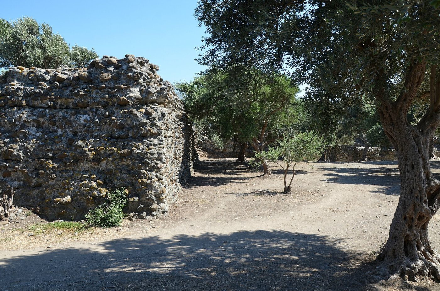
Bet Guvrin grew in the second century CE, after the Bar Kokhba revolt reshaped the region, and in 199 or 200 the emperor Septimius Severus granted it the rank of a Roman city. He gave it a Greek name to match: Eleutheropolis, "the city of the free". It became one of the larger towns of the lowlands, a road hub with its own territory, its own coins and its own mixed population. Underneath the Roman dignity, the old habit of digging never stopped. The townspeople kept hollowing the chalk, and what they hollowed is what survives.
A Jewish community lived here through the Roman and Byzantine centuries, named in the sources alongside the Christians of the same town. That coexistence is itself the point. This was not a Jewish village sealed off from the world; it was a Jewish presence inside a real provincial city, sharing its streets, its quarries and its name.
A donated column
An inscription from Bet Guvrin records the gift of a column to the local synagogue in Byzantine times, and the literary sources name both Jewish and Christian figures living in the city. Together they place an organised Jewish community inside Eleutheropolis during late antiquity, worshipping in a building its own members paid to raise.
Encyclopaedia Judaica · published excavation reportsPainted tombs and bell caves
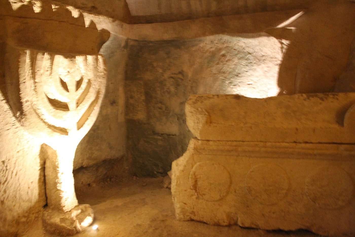
Walk the wider site and the hill keeps opening. At Maresha, the Sidonian burial caves, the family tomb of one Apollophanes, leader of the local Sidonian community, are the only painted caves in the country, their walls bright with animals and garlands two thousand years on. Elsewhere the chalk is cut into the great bell caves, vast cones of light and quarry-marks where stone was mined from a small mouth at the top, leaving a chamber the size of a chapel below. Around the city lie clusters of burial caves from the Roman, Byzantine and early Islamic periods. The dead and the living used the same soft rock.
The land of a thousand caves did not keep its monuments. It kept the holes, and the holes turned out to be the record.
A World Heritage landscape
In June 2014, at its session in Doha, the UNESCO World Heritage Committee inscribed "Caves of Maresha and Bet-Guvrin in the Judean Lowlands as a Microcosm of the Land of the Caves". The listing recognises a dense man-made cave landscape, bell caves, cisterns, columbaria, oil presses and tombs, hewn over some two thousand years across the soft chalk of the lowlands.
UNESCO World Heritage List, No. 1370What remains
Bet Guvrin earns its place on the map precisely because it will not collapse into a slogan. It is a Jewish site and a Roman city and a Sidonian necropolis and a quarry and a national park, all stacked in the same chalk. The Jewish chapter is real, sourced and modest in scale, lived out inside a larger town rather than apart from it. That is a truer picture of how Jews actually lived in late antiquity than any lone, gleaming monument would be: present, organised, paying for their own columns, and sharing the hill with everyone else who wanted a piece of the cool stone underground.
Further reading