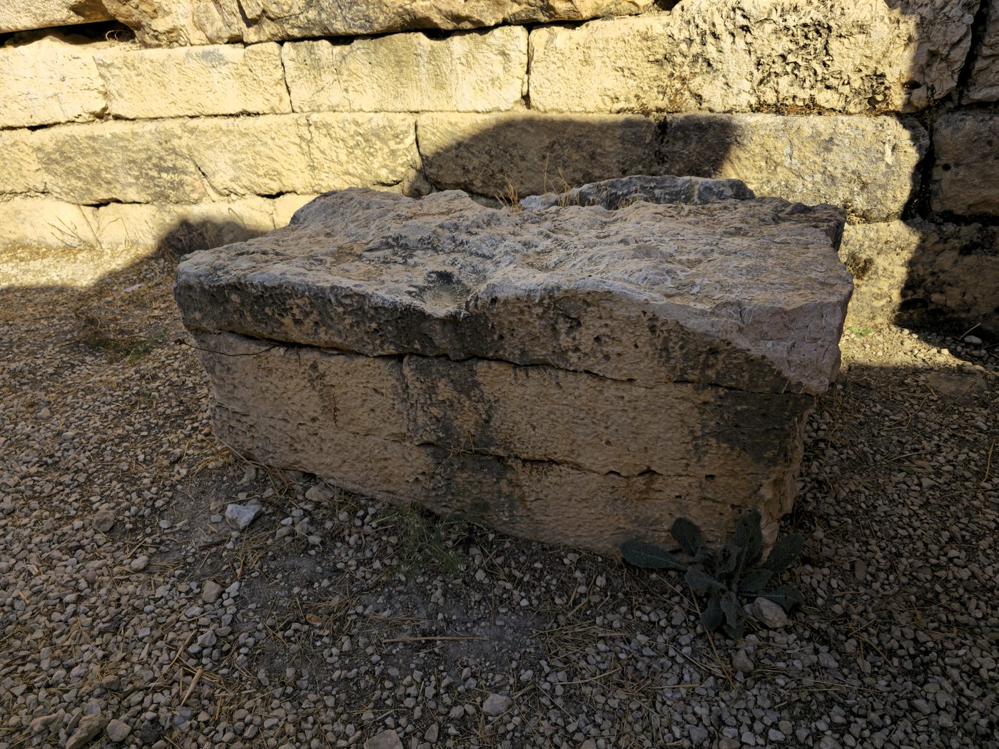
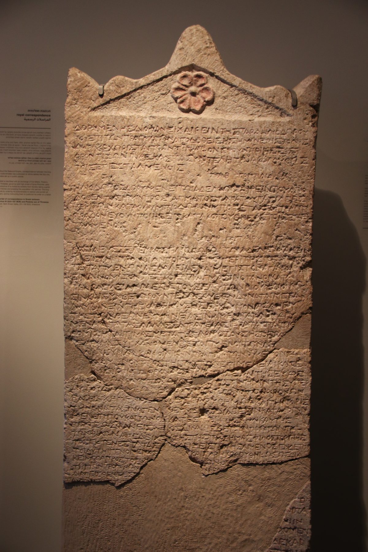
Most of the writing this site discusses was made to be moved, read, stored or buried - a scroll, a seal, a letter on a broken pot. The Gezer boundary inscriptions were made to stay exactly where they are. They are cut into outcrops of natural bedrock ringing the ancient tell of Gezer, in the low hill country between the coastal plain and Jerusalem, and they have never left. There is no museum case for this object. The rock is the object, and the rock is still there.
Tel Gezer had already been an important Canaanite and Israelite city for well over a thousand years by the time these markers were cut - fortified, fought over, mentioned in Egyptian and biblical records alike. By the Hellenistic period it was a smaller place, and at some point under Hasmonean rule someone went round its perimeter and had short Hebrew and Greek texts carved into the rock face at intervals, spelling out, in effect, where the town ended.

What the rock says
The inscriptions are short and formulaic. The recurring Hebrew phrase is תחם גזר, tehum Gezer, "boundary of Gezer", cut in Paleo-Hebrew or square Hebrew letters directly into the stone. Several of the rock faces also carry a Greek text, and more than one pairs the Hebrew boundary formula with a Greek personal name in the genitive, suggesting an individual - very likely a local landholder or official - associated with marking that stretch of the line. The inscriptions were first noticed and published in the 1870s by the French orientalist and archaeologist Charles Clermont-Ganneau, who recognised that the scattered rock-cuttings he had come across belonged together as a single boundary system. Further examples came to light during the systematic excavation of the tell in the early twentieth century, led by R. A. Stewart Macalister.
Because the inscriptions were cut straight into bedrock rather than onto a portable object, their positions are themselves evidence. Plotted together, the surviving markers describe an arc around the mound at a broadly consistent distance from its centre - the kind of pattern you would expect from a line being walked and marked, rather than a set of unrelated graffiti. That is the basis for reading them as a deliberate, coordinated boundary system rather than a handful of coincidental scratches.
The Boundary of Gezer
A cluster of short inscriptions cut into natural rock outcrops around the perimeter of Tel Gezer, in the Shephelah. The recurring Hebrew formula reads תחם גזר, "boundary of Gezer"; several rock faces also carry a Greek text, in at least one case paired with a personal name. First recognised and published as a coherent group by Charles Clermont-Ganneau in the 1870s, with further examples recorded during R. A. Stewart Macalister's excavation of the tell in the early 1900s. Held in situ, on the rock where they were cut, around the archaeological site of Tel Gezer.
In situ, Tel GezerWhy it matters as evidence
Whichever reading is preferred, the inscriptions are hard evidence of something specific and checkable: a Jewish town under Hasmonean administration marking its own edge, in Hebrew, on the ground, for people to see and presumably to observe. That is a different kind of proof from a text copied and recopied across centuries. Nobody added these words later, and nobody could have. They were cut into rock that has sat in the same hills since before the Hasmonean dynasty existed, and they are still there to be read by anyone who walks out to Tel Gezer today.
The inscriptions also sit inside a longer, well-attested Jewish practice. The idea of a fixed Sabbath limit is set out in rabbinic legal literature, most directly in the tractate of the Mishnah devoted to the subject, which works through exactly the kind of question a boundary marker at Gezer would have served: how far is too far to walk on the Sabbath, and how is that distance measured from the edge of a settlement. The Gezer inscriptions cannot prove that later rabbinic law reflects Hasmonean-period practice without change, but they do show a Jewish community, centuries before the Mishnah was written down, already thinking in terms of a defined civic boundary and marking it permanently. That is not nothing. A religion of laws needs edges, and here, plainly, is one.
The Sabbath-Limit Reading
A proposed interpretation of the Gezer boundary inscriptions, holding that the line they mark corresponds to the Sabbath limit later codified in rabbinic law as the techum shabbat - the maximum distance a person may walk from their town on the Sabbath. The rock inscriptions themselves do not use the word "Sabbath"; the reading rests on the positions of the markers relative to the town, the Jewish character of Hasmonean Gezer, and comparison with later rabbinic sources on Sabbath boundaries, rather than on an explicit statement cut into the stone. An alternative reading treats the same inscriptions as an ordinary civic or estate boundary with no distinct religious function. The two readings are not mutually exclusive; a civic boundary and a Sabbath limit could have coincided.
In situ, Tel Gezer; compare Mishnah, tractate EruvinNothing about the Gezer boundary inscriptions is dramatic to look at. They are short, weathered, cut in ordinary letters by whoever was given the job. Their value is exactly that plainness. A town under Jewish self-rule, two thousand-odd years ago, walked its own edge and wrote the fact down where it would last - and it has.